roadwise.Open study app

South Carolina driving lesson · Signs, Signals & Markings

Guide, route & evacuation signs

A 3-minute lesson from the South Carolina course. Read the rules and examples, follow the handbook page references, and check your understanding before you move on.

Read time
3 minutes
Course unit
Signs, Signals & Markings
Checkpoint questions
4
Source pages
70, 71

Guide signs help you find your way: where roads go, which towns are ahead and where to find services. Route signs tell you what type of road you're on.

Know the rule

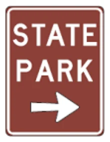
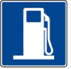
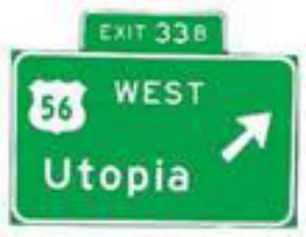
Guide signs are square or rectangular and green, brown or blue. They show intersecting roads, direct you to cities and towns, and point out places of interest, hospitals, service stations, restaurants and hotels.

Handbook p. 70 ↗
Exit sign
Green guide sign
Recreational area
Brown guide sign
Gas
Blue service sign

Know the rule

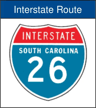
The shape and color of a route number sign show the road type: interstate, US, state, city, county or local road.

Handbook p. 70 ↗
Interstate route marker
Interstate route sign

Secondary system road marker

Marks a state secondary route. The first number after "S" is the county number; the last number is the road number.

Handbook p. 70 ↗
County route marker
Secondary road marker S-11-17

Know the rule

Each county has its own set of secondary road numbers. Only a few appear on the state primary map, but all are on county maps from the Department of Transportation.

Handbook p. 71 ↗

Know the rule

Secondary roads are local roads serving rural and urban traffic. In rural areas they aren't intended as through routes and normally shouldn't be used by drivers unfamiliar with the area.

Handbook p. 71 ↗

Know the rule

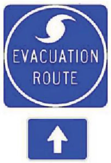
Evacuation Route signs mark roads used if a mandatory hurricane evacuation is declared for SC's coastal areas.

Handbook p. 71 ↗
Evacuation route
Evacuation Route sign

Put it into practice

You see a marker reading S-11-17. It's a state secondary road: county number 11, road number 17. It's a local road, so if you don't know the area, stick to primary routes for through travel.

Check your understanding

Read the question, decide on an answer, then open it to check the explanation. These are Roadwise study questions based on the source handbook.

Guide signs are typically what colors?
  1. Green, brown, or blue
  2. Red, white, or black
  3. Yellow and orange only
  4. White with black letters

Answer: Green, brown, or blue

Guide signs are square or rectangular and are green, brown, or blue.
Handbook p. 70 ↗
On a secondary system road marker, the first number after the letter 'S' represents:
  1. The speed limit
  2. The county the road is in
  3. The distance to the next town
  4. The route's mile marker

Answer: The county the road is in

The first number after the 'S' is the number of the county the road is in; the last number is the road number.

Handbook p. 70 ↗
An evacuation route sign indicates a road used in the event of a hurricane evacuation.
  1. True
  2. False

Answer: True

The evacuation route sign indicates the road is used as an evacuation route in the event of a hurricane.

Handbook p. 71 ↗
How should drivers unfamiliar with an area treat SC secondary system roads in rural areas?
  1. As the fastest through routes
  2. As hurricane evacuation routes
  3. Avoid using them as through routes
  4. As roads reserved for trucks

Answer: Avoid using them as through routes

In rural areas, secondary roads are not intended as through routes and should not normally be used by drivers unfamiliar with the area.

Handbook p. 71 ↗
Take the lesson checkpoint in the app

More in Signs, Signals & Markings