A 3-minute lesson from the Connecticut course. Read the rules and examples, follow the handbook page references, and check your understanding before you move on.
Guide signs help you find your way: route numbers, exits, distances, services and parks. Orange work area signs warn of crews on or near the road, and the flag person's directions must be obeyed.
Know the rule
Guide signs direct you to places: where you are, what road you're on and how to get where you want to go. Most are rectangular.
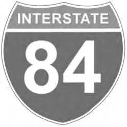
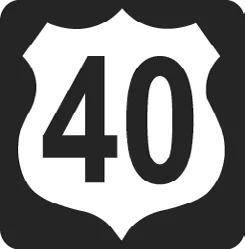
A route number sign's shape and color show the type of road: interstate, U.S., state, city or county. Plan with a map and follow route signs to avoid getting lost.
Service signs are square or rectangular, blue with white letters or symbols, and show services such as rest areas, gas stations, campgrounds or hospitals.
Destination and distance signs are always green and direct you to bike routes, parking areas, mileposts and specific exits. Information signs are also always green: state lines, city limits, streams, elevations and landmarks.
Mileposts are placed every mile along the freeway. Zero usually starts at the south and west borders of the state. Use milepost and exit numbers to figure how far you are from your exit.
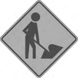
Work area signs (construction, maintenance, emergency operations) are generally diamond or rectangular, orange with black letters or symbols. They warn of reduced speed, detours, slow equipment and poor or changing road surfaces.
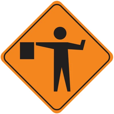
A Flag Person sign warns a flagger is ahead; always follow his or her directions. Flaggers wear orange or yellow vests or yellow-green shirts or jackets and use STOP/SLOW paddles and red flags.
On the freeway you notice milepost numbers going up every mile from the state's southern border. Comparing the milepost with your exit number, you work out how far your exit is. A blue sign then points to a rest area — blue always means services.
Check your understanding
Read the question, decide on an answer, then open it to check the explanation. These are Roadwise study questions based on the source handbook.
What do green guide signs typically tell you?
Where you are, which way to go, and distance
Hazards and road conditions ahead
Rules such as speed limits
Services like gas and food
Answer: Where you are, which way to go, and distance
Green is used for guide signs telling you where you are, which way to go, and the distance; destination signs are always green.