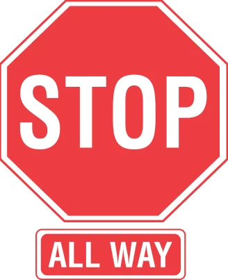
All-way stop
All traffic at this intersection must stop.
What to do: Stop, then proceed in turn based on order of arrival.
Shape: octagon · Color: red
Handbook p. 50 ↗Tennessee road signs
Explore 62 signs and driving illustrations from this course’s handbook edition. Each entry pairs the image with its meaning and a practical action. Use your browser’s Find command to look up a name or a word from a meaning.
Notice the shape and color before reading a sign’s words or symbol. Then connect its meaning with what you should do: stop, yield, adjust your speed, choose a lane, or prepare for a hazard. Signals, markings, and diagrams are included where the handbook uses them to explain a driving rule.
Use the source page link for the surrounding rule. Some illustrations show a complete road situation rather than a standalone roadside sign.
62 entries. Sign images and page references belong to the handbook edition used for the Tennessee course.
All traffic at this intersection must stop.
What to do: Stop, then proceed in turn based on order of arrival.
Shape: octagon · Color: red
Handbook p. 50 ↗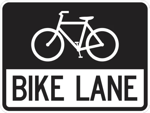
Marks a lane reserved for bicycles.
What to do: Do not drive or park in a marked bike lane.
Shape: square · Color: black
Handbook p. 120 ↗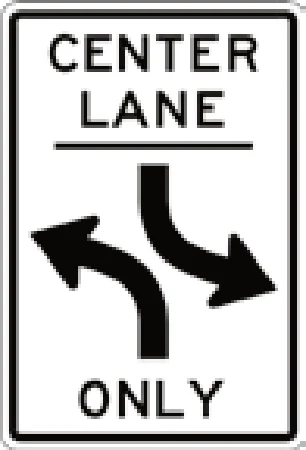
This center lane is only for left turns from both directions.
What to do: Use this lane only to turn left or wait to turn; do not drive straight through it.
Shape: rectangle vertical · Color: white
Handbook p. 74 ↗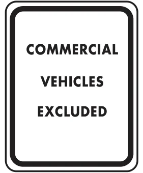
Commercial vehicles may not use this roadway.
What to do: Do not drive a commercial vehicle past this sign.
Shape: rectangle vertical · Color: white
Handbook p. 51 ↗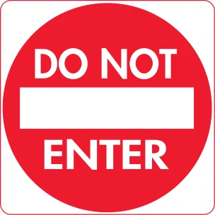
Entry is prohibited in this direction.
What to do: Do not drive past this sign; you are going the wrong way if you see it facing you.
Shape: circle · Color: red
Handbook p. 51 ↗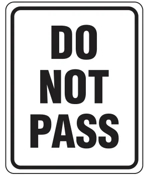
Passing other vehicles is prohibited here.
What to do: Do not pass; stay behind slower traffic until the zone ends.
Shape: rectangle vertical · Color: white
Handbook p. 51 ↗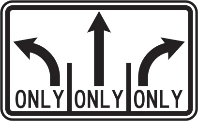
Shows which turns each lane must make ahead.
What to do: Get into the lane matching the turn or direction you want.
Shape: rectangle horizontal · Color: white
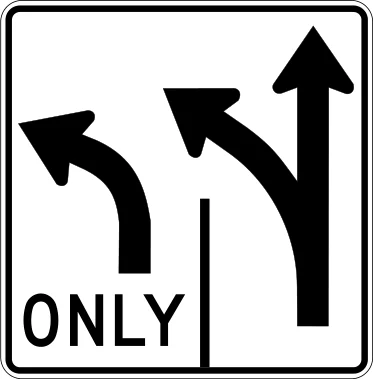
Shows which turns each lane must make ahead.
What to do: Get into the lane matching the turn or direction you want.
Shape: rectangle vertical · Color: white
Handbook p. 74 ↗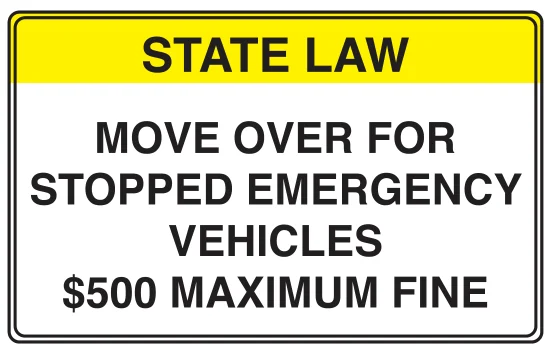
State law requires drivers to move over for stopped emergency vehicles; fine up to $500.
What to do: Move over a lane (or slow down if you cannot) for stopped emergency vehicles.
Shape: rectangle vertical · Color: yellow
Handbook p. 86 ↗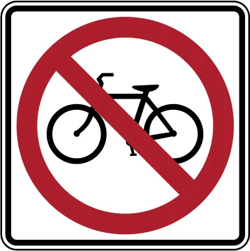
Bicycles are not allowed on this roadway.
What to do: Do not ride a bicycle here; use an alternate route.
Shape: square · Color: white
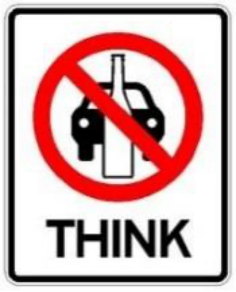
Warns against driving after drinking alcohol.
What to do: Never drive after drinking; arrange another way home.
Shape: rectangle vertical · Color: white
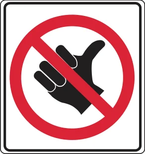
Hitchhiking (soliciting a ride) is prohibited here.
What to do: Do not stand on the roadway to solicit a ride, and do not pick up hitchhikers where prohibited.
Shape: square · Color: white
Handbook p. 51 ↗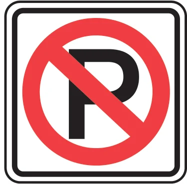
Parking is not allowed at this location.
What to do: Do not park your vehicle here.
Shape: square · Color: white
Handbook p. 79 ↗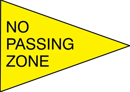
Passing other vehicles is not allowed in this zone.
What to do: Stay behind slower traffic; do not pass until the zone ends.
Shape: pennant · Color: yellow
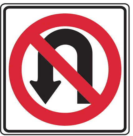
U-turns are not allowed here.
What to do: Do not make a U-turn at this location.
Shape: square · Color: white
Handbook p. 73 ↗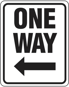
Traffic on this street moves only in the direction of the arrow.
What to do: Travel only in the direction shown; do not enter against it.
Shape: rectangle vertical · Color: black
Handbook p. 51 ↗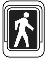
Marks a pedestrian crossing location.
What to do: Watch for pedestrians crossing at this location.
Shape: square · Color: black
Handbook p. 56 ↗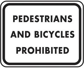
Pedestrians and bicycles are not allowed on this roadway.
What to do: Do not walk or ride a bicycle on this road.
Shape: rectangle vertical · Color: white
Handbook p. 51 ↗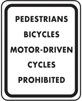
Pedestrians, bicycles, and motor-driven cycles are not allowed on this roadway.
What to do: Do not walk, bike, or ride a moped/motor-driven cycle on this road.
Shape: rectangle vertical · Color: white
Handbook p. 51 ↗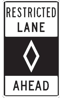
Warns that a restricted-use lane (such as HOV) is ahead.
What to do: Check the restrictions before using the lane ahead.
Shape: rectangle vertical · Color: white
Handbook p. 75 ↗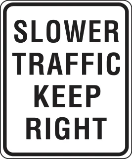
Slower vehicles must stay in the right lane(s).
What to do: Move right if you are driving slower than surrounding traffic.
Shape: rectangle vertical · Color: white
Handbook p. 51 ↗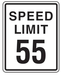
States the maximum legal speed, here 55 mph.
What to do: Do not drive faster than the posted limit.
Shape: rectangle vertical · Color: white
Handbook p. 61 ↗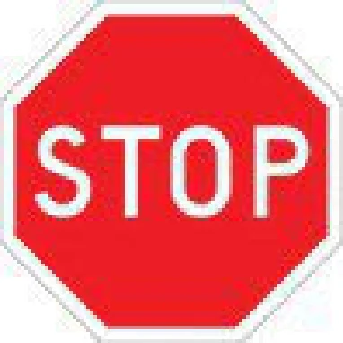
Come to a complete stop.
What to do: Stop fully at the line, crosswalk or intersection edge; go only when safe.
Shape: octagon · Color: red
Handbook p. 50 ↗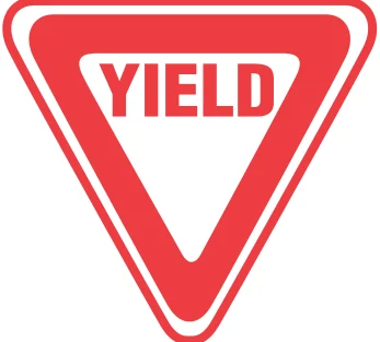
Slow down and yield to oncoming or crossing traffic.
What to do: Slow or stop and give the right-of-way to traffic as needed.
Shape: triangle · Color: red
Handbook p. 50 ↗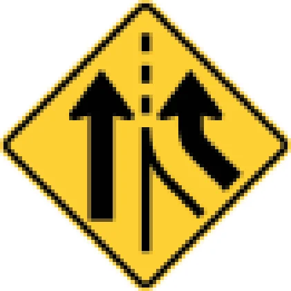
An additional lane begins ahead without merging.
What to do: Continue in your lane; no need to merge for the new lane.
Shape: diamond · Color: yellow
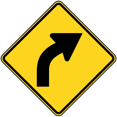
Road curves to the right ahead.
What to do: Slow down and steer smoothly through the right curve.
Shape: diamond · Color: yellow
Handbook p. 52 ↗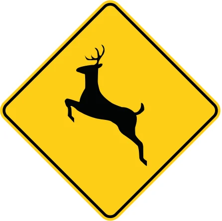
Deer may cross the road in this area.
What to do: Slow down and watch for deer, especially at dawn or dusk.
Shape: diamond · Color: yellow
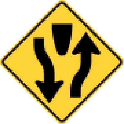
Road ahead splits into a divided highway with a median.
What to do: Keep right of the median and stay alert for the lane split ahead.
Shape: diamond · Color: yellow
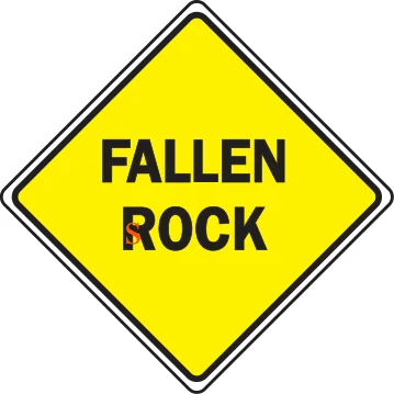
Warns rocks may fall onto the roadway ahead.
What to do: Watch for fallen rock on the road and be ready to steer around it.
Shape: diamond · Color: yellow
Handbook p. 52 ↗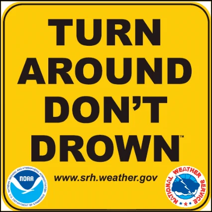
Warns that the road ahead may flood; do not drive into flood water.
What to do: Turn around and take another route if the road is flooded.
Shape: rectangle vertical · Color: orange
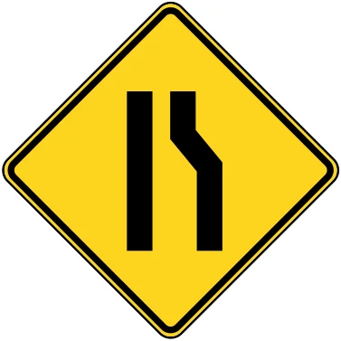
The left lane ends ahead and traffic must merge.
What to do: Merge right safely before your lane ends.
Shape: diamond · Color: yellow
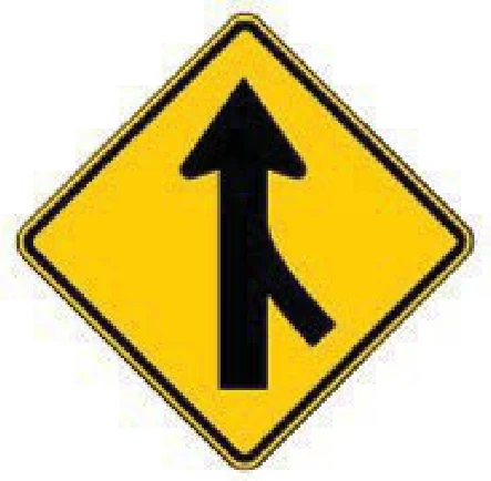
A lane from the side joins your road ahead.
What to do: Adjust speed and merge safely; yield to traffic already in your lane.
Shape: diamond · Color: yellow
Handbook p. 52 ↗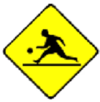
A playground area is near the road ahead.
What to do: Slow down and watch for children playing near the road.
Shape: diamond · Color: yellow
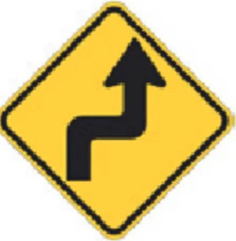
Road curves right then left ahead.
What to do: Slow down and steer carefully through both curves.
Shape: diamond · Color: yellow
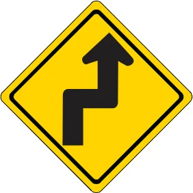
The road makes a sharp turn one way then the other.
What to do: Slow down and steer carefully through both turns.
Shape: diamond · Color: yellow
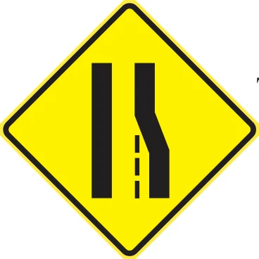
Warns the right lane ends ahead and traffic must merge left.
What to do: Merge left before your lane ends.
Shape: diamond · Color: yellow
Handbook p. 52 ↗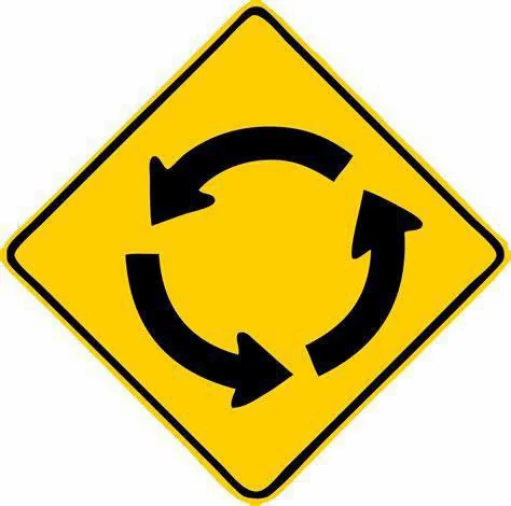
A roundabout is ahead where traffic circles counterclockwise.
What to do: Slow down and yield to traffic already in the roundabout.
Shape: diamond · Color: yellow
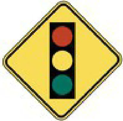
A traffic signal is ahead at the intersection.
What to do: Slow down and be ready to stop for the signal.
Shape: diamond · Color: yellow
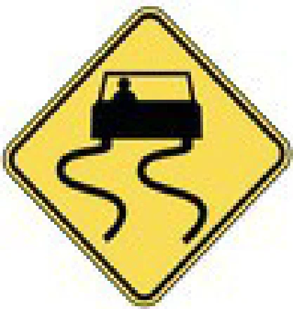
Road may be slick from rain, ice or oil.
What to do: Slow down, avoid sudden braking or sharp turns, and increase following distance.
Shape: diamond · Color: yellow
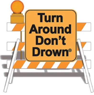
Warns not to drive into a flooded roadway; turn around instead.
What to do: Never drive through a flooded road; turn around and find another route.
Shape: rectangle horizontal · Color: orange
Handbook p. 90 ↗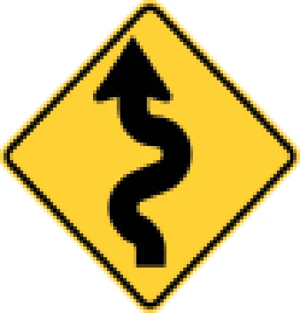
The road has several curves ahead.
What to do: Slow down and drive carefully through the series of curves.
Shape: diamond · Color: yellow
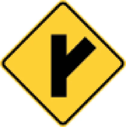
The road ahead forks into a Y-shaped intersection.
What to do: Slow down and choose the correct branch of the fork.
Shape: diamond · Color: yellow
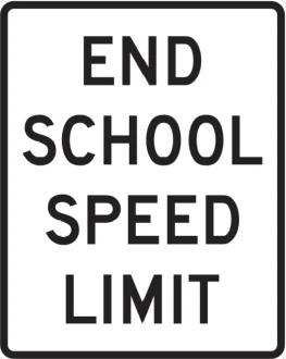
Marks the end of the reduced school-zone speed limit.
What to do: You may resume the regular posted speed limit after this sign.
Shape: rectangle vertical · Color: white
Handbook p. 51 ↗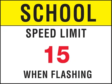
15 mph school-zone limit applies when the beacon flashes.
What to do: Slow to 15 mph when the flashing beacon is active near a school.
Shape: rectangle vertical · Color: yellow
Handbook p. 51 ↗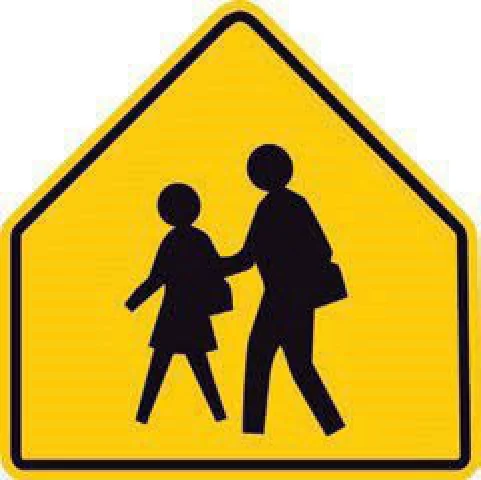
You are approaching a school area or crossing.
What to do: Slow down, watch for children, and be ready to stop.
Shape: pentagon · Color: yellow
Handbook p. 50 ↗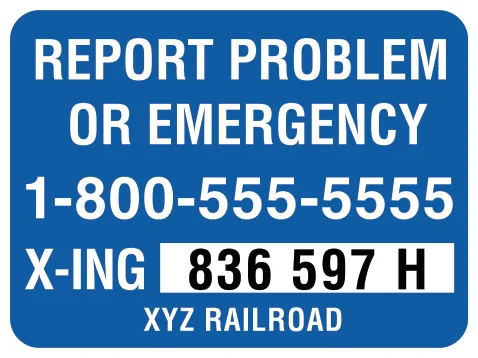
Gives a phone number and crossing ID to report problems.
What to do: Call the posted number to report a stalled vehicle or crossing malfunction.
Shape: rectangle vertical · Color: blue
Handbook p. 128 ↗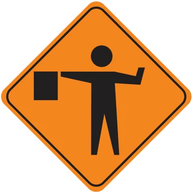
A worker will direct traffic ahead.
What to do: Slow down and be ready to stop or follow the flagger's directions.
Shape: diamond · Color: orange
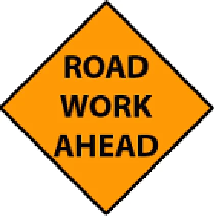
Construction or maintenance work is ahead on the road.
What to do: Slow down and watch for workers, equipment and lane changes.
Shape: diamond · Color: orange
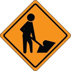
Road workers are working near or in the roadway.
What to do: Slow down and watch for workers and equipment.
Shape: diamond · Color: orange
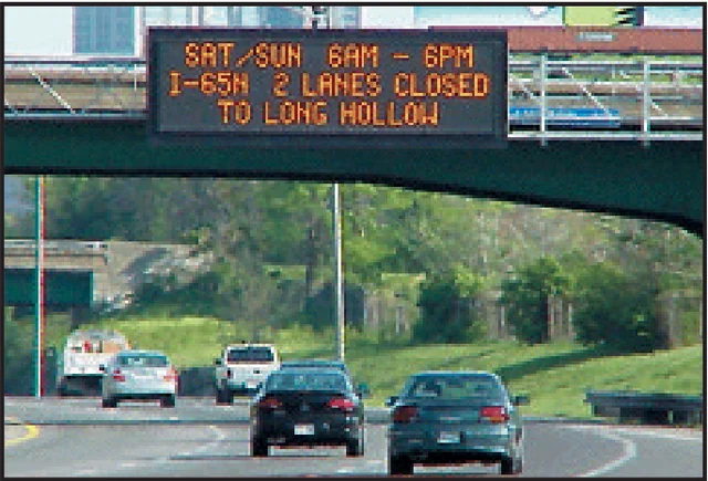
An electronic sign displays real-time traffic information such as lane closures.
What to do: Read and follow instructions shown on electronic message signs.
Shape: rectangle horizontal · Color: black
Handbook p. 85 ↗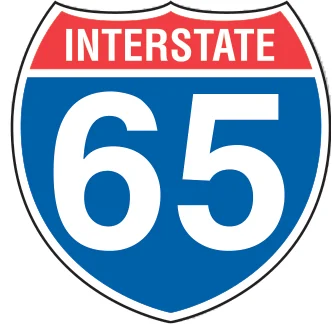
Identifies the road as Interstate 65.
What to do: Use this marker to confirm you are on the correct interstate.
Shape: shield · Color: blue
Handbook p. 54 ↗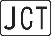
Shows you are approaching a junction with another numbered route.
What to do: Prepare for the upcoming junction with the named route.
Shape: rectangle horizontal · Color: white
Handbook p. 54 ↗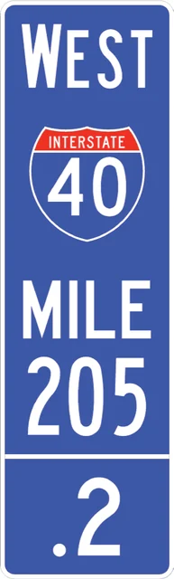
Shows the interstate route and the mile marker location (I-40 West, mile 205.2).
What to do: Use mile markers to note your location for reference or emergencies.
Shape: rectangle vertical · Color: blue
Handbook p. 55 ↗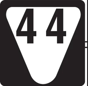
Identifies the road as State Route 44.
What to do: Use this marker to confirm you are on the correct state route.
Shape: shield · Color: white
Handbook p. 54 ↗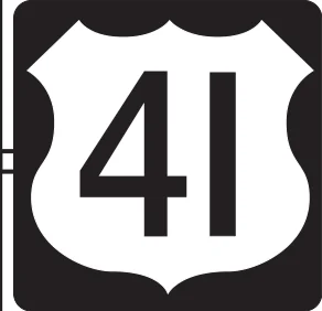
Identifies the road as U.S. Route 41.
What to do: Use this marker to confirm you are on the correct route.
Shape: shield · Color: white
Handbook p. 54 ↗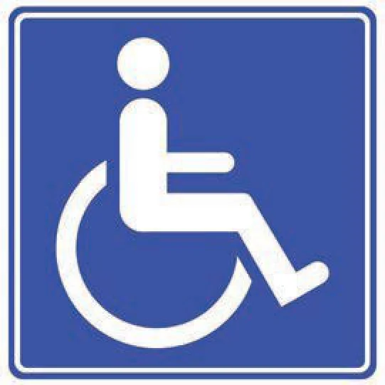
Marks a facility or space accessible to people with disabilities.
What to do: Use as directed; reserve marked accessible spaces for permit holders.
Shape: square · Color: blue
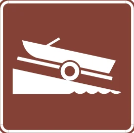
Indicates a boat launching ramp is available.
What to do: Follow signage if you need to launch a boat; otherwise no action needed.
Shape: square · Color: brown
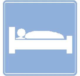
Marks lodging (hotel/motel) available nearby.
What to do: Follow signs to exit if you need lodging.
Shape: square · Color: blue
Handbook p. 54 ↗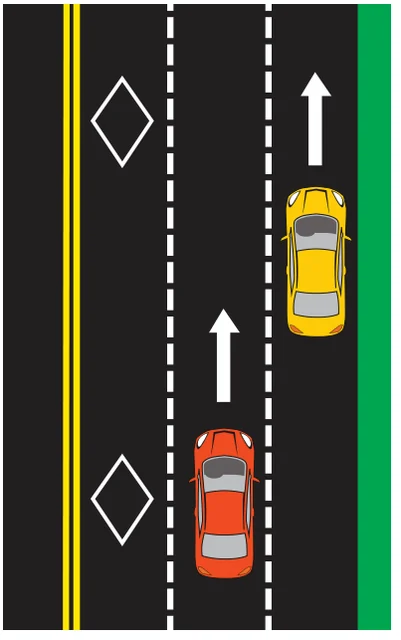
A white diamond painted in a lane marks it as a High-Occupancy Vehicle (HOV) lane.
What to do: Only use this lane if you meet the posted occupancy or vehicle requirements.
Shape: n/a · Color: n/a
Handbook p. 57 ↗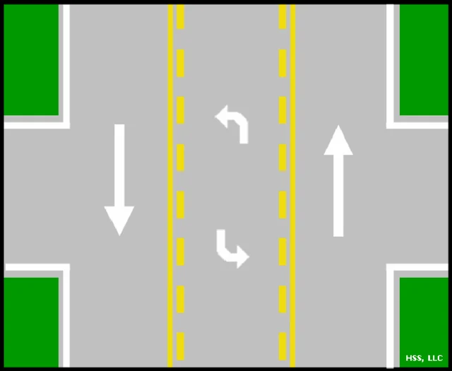
A shared center lane for left turns from either direction.
What to do: Use this lane only to turn left or wait to turn; do not drive through it.
Shape: n/a · Color: n/a
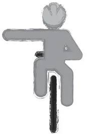
A cyclist's arm bent upward at the elbow signals a right turn.
What to do: Recognize this as a cyclist's right-turn hand signal.
Shape: n/a · Color: n/a
Handbook p. 119 ↗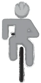
A cyclist's arm bent downward at the elbow signals stopping or slowing.
What to do: Recognize this as a cyclist's stop/slow hand signal.
Shape: n/a · Color: n/a
Handbook p. 119 ↗